Property Details & Maps
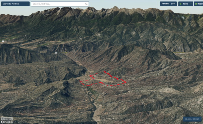
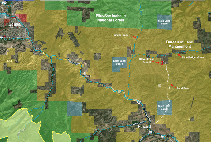
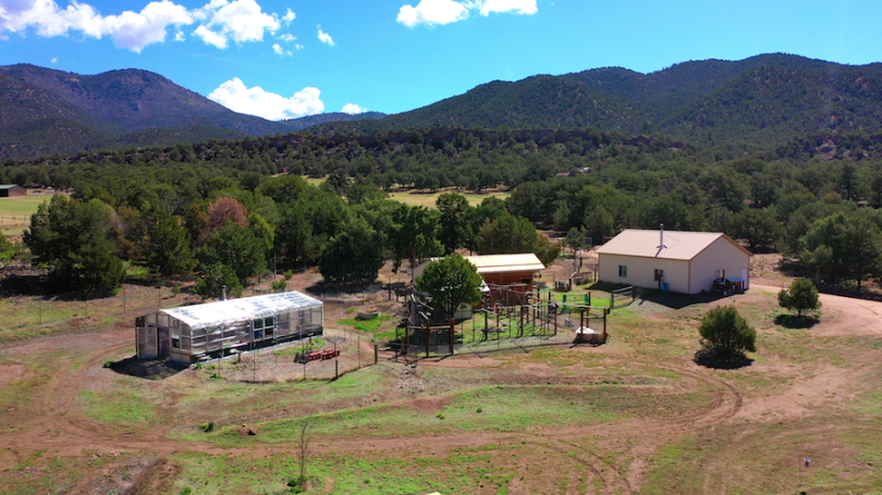
The Howard Peak Retreat is located in Freemont County just over 9 miles as the crow flies east of the mountain town of Salida known as the “Heart of the Rockies“, and about 3 1/2 miles north of the Arkansas River community of Howard,Colorado. The property sets an an altitude of approximately 7680′ and is about 2 1/4 hours from the Colorado Springs airport or 3 1/4 hours from the Denver metropolitan area.
Consisting of 20 Acres zoned AF (Agricultural Forestry) within Freemont County, Colorado; the property is bordered on two sides by Bureau of Land Managment (BLM) public lands. It is situated roughly 5.5 miles from the Arkansas River and pavement In Howard and is accessed off of Sand Road which is accessible year-round.
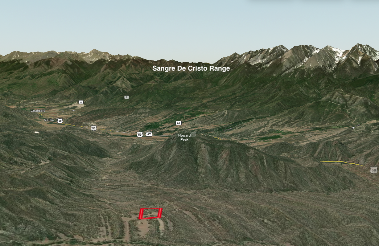
MapRight Interactive-zoom in/out and Hover over elements or “View Full Screen” for additional information. Use “3D” Button in lower right corner and drag your mouse around while holding the control key for additional perspectives to rotate, tilt, zoom, etc.
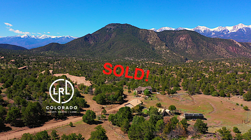
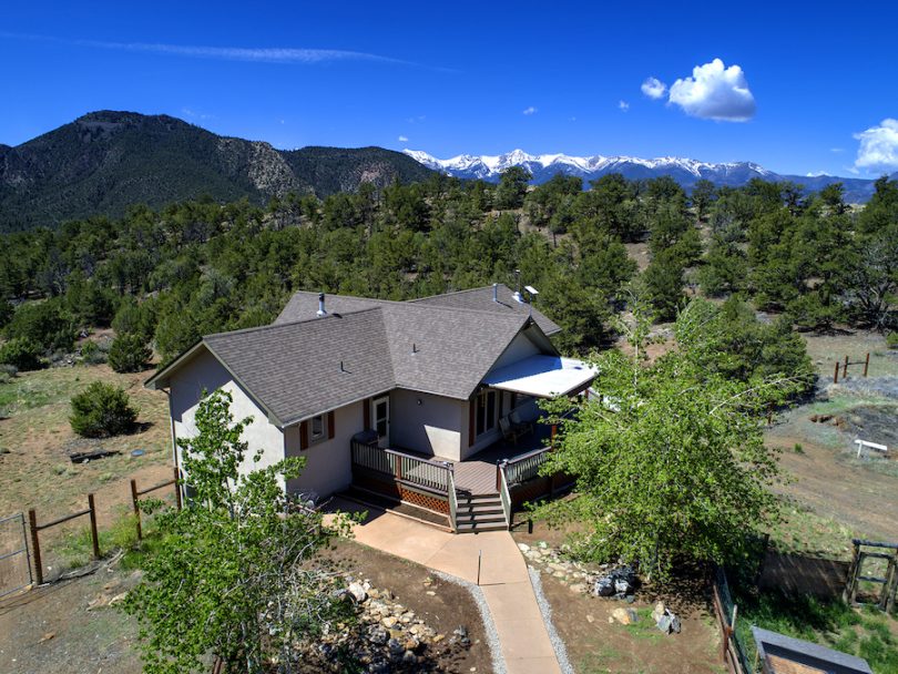
The Sangre de Cristo Mountains hosting 4 of Colorado’s 14ers provide a stunning and dramatic backdrop to the outstanding view corridors from the property
The property is primarily accessed from the community of Howard along Hwy 50. Take Howard Creek Rd across the river and then bear right to remain on Howard Creek Rd. Turn right at the intersection with County Rd 45 for .6 miles then turn left on to Sand Road. After 2.6 miles bear left to remain on Sand Rd and continue for 2.5 miles where a left turn accesses the easement through neighboring property on to the gate at the property. This high-clearance 4WD road is periodically maintained by the BLM and/or the power company (no winter maintenance) which maintains access to their transmission lines beyond the property. Beyond the property Sand Road intersects BLM Rd 5966 (Powerline Rd) which connects through to Wellsville to the west or a network of BLM roads to the east.

