Property Details & Maps
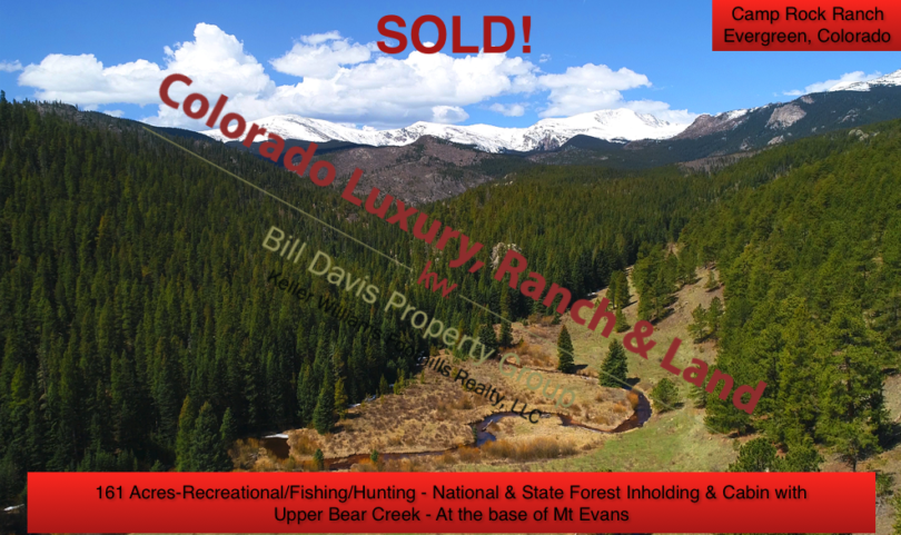
The Camp Rock Ranch is located in Clear Creek County at the north eastern foot of Mt. Evans at an elevation of about 8800′ off of the upper reaches of Upper Bear Creek Rd, above the mountain community of Evergreen, Colorado. Approximately 12.2 miles from Hwy 74 at Evergreen Lake, it is situated 40 miles from downtown Denver, and 67 miles from the Denver International Airport.
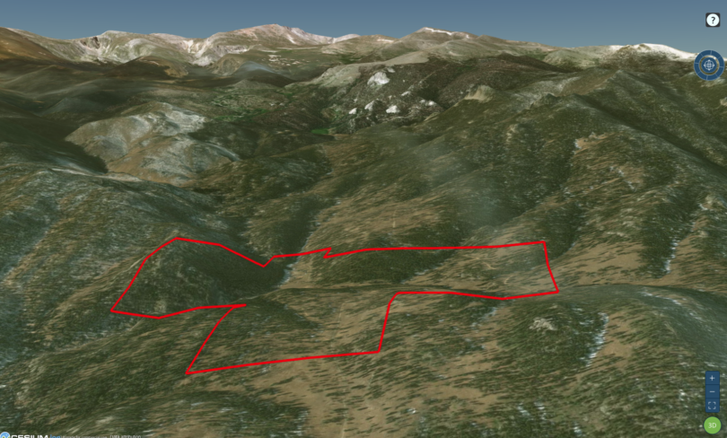
Consisting of just over 161 Acres zoned MR-1, the property is located within the Mt. Evans State Wildlife Area and Pike National Forest. With the ranch situated roughly 6 miles from the pavement, the access travels in to State Wildlife Area which has seasonal closures to the general public following Labor Day through June 15th each year. Owners of the property maintain year round rights to access the property, however approximately 3 miles of the road are not maintained during the winter months. A portion of Upper Bear Creek Rd lies within the northern boundaries of the ranch as it continues on to the Camp Rock Campground approximately a mile and half further above.
MapRight Interactive-zoom in/out and Hover over elements or “View Full Screen” for additional information. Use “3D” Button in upper left and drag “N” around compass for additional perspectives.
Public Lands Map

Mt. Evans at 14,265′ above sea level poses a dramatic backdrop to the property

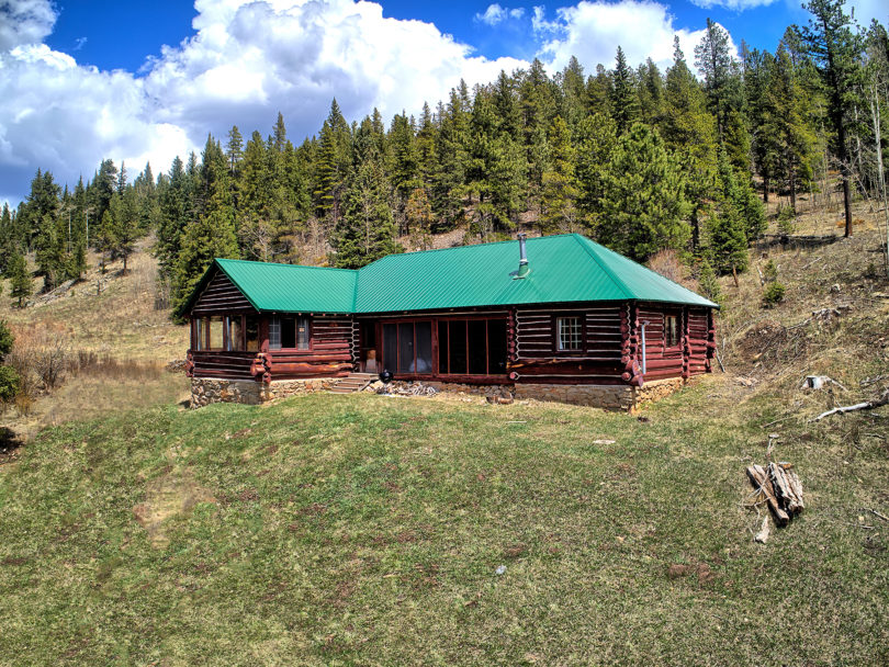
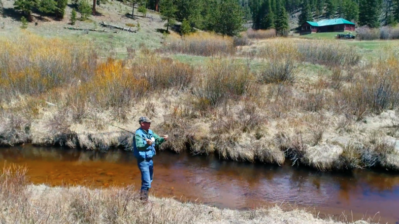
The ranch enjoys all types of terrain from the grassy meadow and pasture where the creek meanders along, to rocky outcroppings and cliffs, and gently rolling forest. The access road/drive has been constructed to accommodate all types of vehicles including horse/livestock and other trailers.