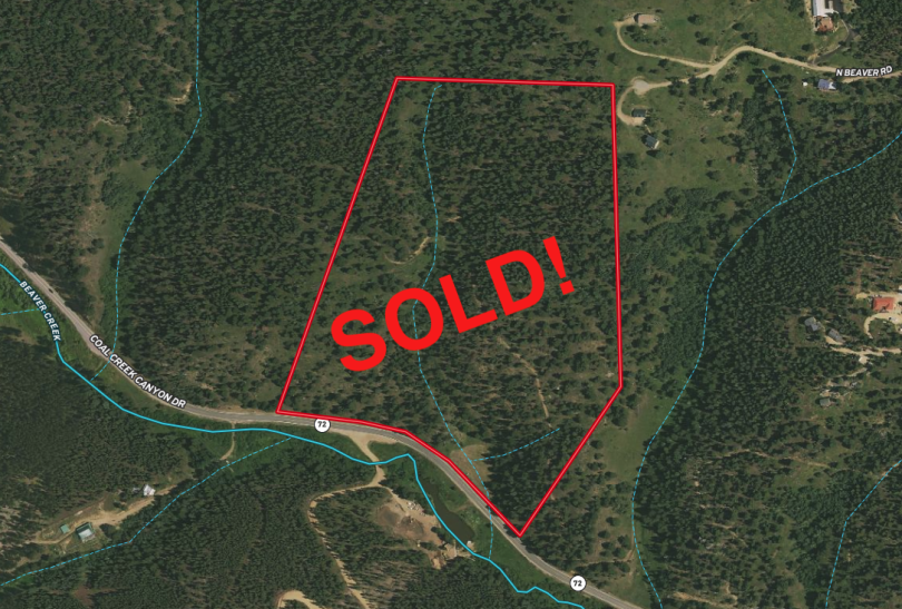
Property Details & Maps
The property sets on the north side of Coal Creek Canyon Road about 1.4 miles east of Hwy 119 (Peak to Peak Hwy) and 4 1/2 miles south of the quaint town of Nederland and the Eldora ski area. It can be accessed within 30 minutes from Downtown Boulder (20 miles), 35 minutes from Golden (28 miles) and just over an hour from Downtown Denver (40 miles).
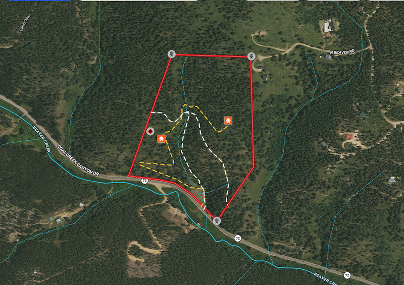
The property borders Arapahoe/Roosevelt National Forest and Boulder County lands providing added recreational access out the back door!

Use the MapRight Interactive mapping below to zoom in/out and Hover over elements or “View Full Screen” for additional information. Use “3D” Button in lower right corner and drag/click mouse while holding “control” to rotate and tilt views
(Note access permitted by appointment only and must be accompanied by Broker; DO NOT TRESSPASS!)
The property is zoned “Forestry” within Boulder County