Property Details & Maps
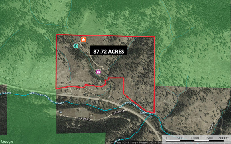
Use the tools provided within the interactive map below to zoom in/out and hover over elements to gain further information on the property, or click on “view full screen” in the upper left corner to view in a separate window. Use “3D” view in upper right corner to view topography perspectives and views.
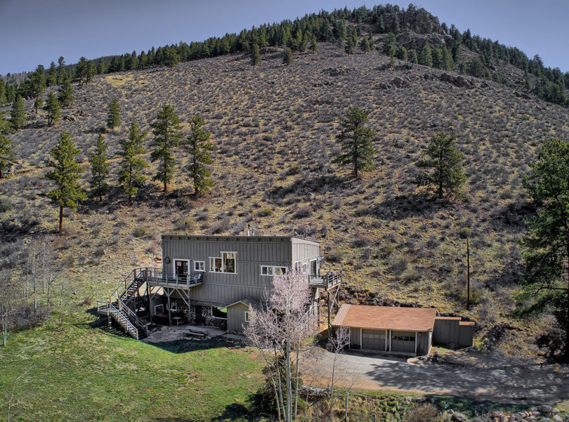
Property Boundary Aerial Perspectives with shaded areas showing Pike National Forest

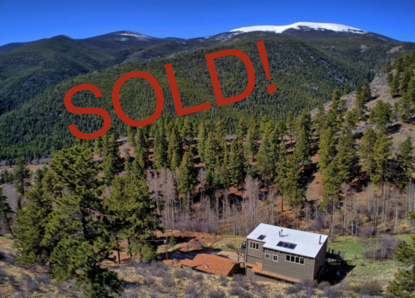
The Ranch lies at the foot of Mount Logan and enjoys year round access from Hwy 285 near the small town of Grant; which is a gateway to a scenic byway traversing through to Georgetown in the summer months over Guanella Pass. Several 14,000′ Peaks are nearby.

The property is zoned Residential Estate (R20) under Park County’s zoning regulations. Information on allowed uses and zonings can be found within the Zoning and Use Regulations (see page 24).

The Ranch lies within Game Management Unit 46; Directly adjacent to unit 501, and close to units 500 and 37.