Property Details & Maps
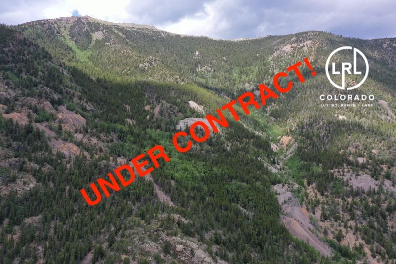
The property is located about 45 miles west of Denver, Colorado and lies just above the Town of Silver Plume upon Republican Mountain to the north side of Interstate 70 along a corridor rich in mining history from Idaho Springs to the Continental Divide.
The property and region are surrounded by Arapahoe National Forest providing added year round recreational access in every direction!

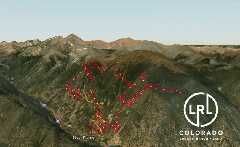
The patented claims are an interconnected web of 122 separately identified tax parcels zoned M-1 within Clear Creek County; as outlined on the list of properties within the “Documents” section. The interactive map below has been generated utilizing the overlay of the 1995 “Griffith Mining District” map created by North American Cartographics (also within “Documents”) in conjunction with the county parcel overlay. It should be noted that there may be some intersecting or adjacent claim layers owned by others and buyer should execute their own due diligence efforts to investigate surrounding or overlaying parcels.
Use the MapRight Interactive mapping below to zoom in/out and Hover over elements or “View Full Screen” for additional information. Use “3D” Button in lower right corner and drag/click mouse while holding “control” to rotate and tilt views
The publicly accessible 7:30 Mine Trail begins at the north edge of the town of Silver Plume and traverses the lower regions of the parcels up to the Griffin Monument and a more primitive trail continues past towards the upper reaches of Republican Mountain.
Use the MapRight Interactive mapping below to zoom in/out and Hover over elements or “View Full Screen” for additional information. Use “3D” Button in lower right corner and drag/click mouse while holding “control” to rotate and tilt views