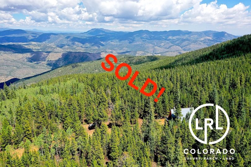
Property Details & Maps
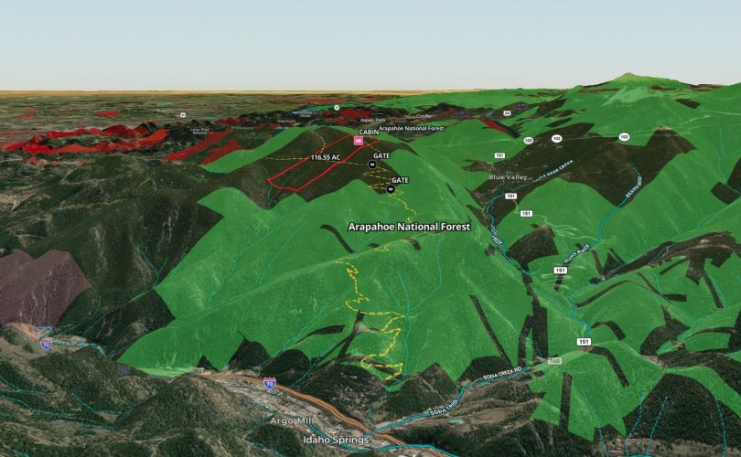
The property sets atop Santa Fe Mountain within Arapahoe National Forest between I70 and Squaw Pass Road just south of Idaho Springs, Colorado. The access road of Hidden Wilderness Rd is just 33 miles from downtown Denver.
The property is a private inholding surrounded by Arapahoe National Forest and several other private parcels within the forest.

Use the MapRight Interactive mapping below to zoom in/out and Hover over elements or “View Full Screen” for additional information. Use “3D” Button in lower right corner and drag/click mouse while holding “control” to rotate and tilt views
(Note access permitted by appointment only and must be accompanied by Broker; DO NOT TRESSPASS!)
Primary Access to the property is gained from Idaho Springs where Montane Drive feeds on to Hidden Wilderness Road which is a high clearance 4WD track that passes through Arapaho National Forest for 4.13 miles to a gate. Beyond the gate is limited to easement access for the several private parcels beyond and the property boundary is approximately 1.25 miles from this gate.
An old Jeep Trail that is no longer accessible by motor vehicles rises to the property from the southeast and can be accessed by non-motorized travel from Squaw Pass Rd or Beaver Brook.