Property Details & Maps
The property is located west of the thriving community of Castle Rock, Colorado just south of the Denver metro area and not much further north of Colorado Springs. Within 45 minutes of Denver International Airport, a 1/2 hour from Centennial Airport and its FBO and about an hour from the Colorado Springs Airport
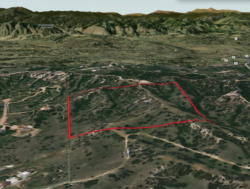
Consisting of 39.6 Acres zoned A-1 (Agricultural) within Douglas County, Colorado; the property is bordered by other larger parcels providing buffers of space in all directions. The property has been kept in a grazing status allowing cattle from adjacent properties to roam providing the benefit of low ag taxes. There is no HOA nor covenants (excepting the gate association below) and Douglas County is the sole building jurisdiction.
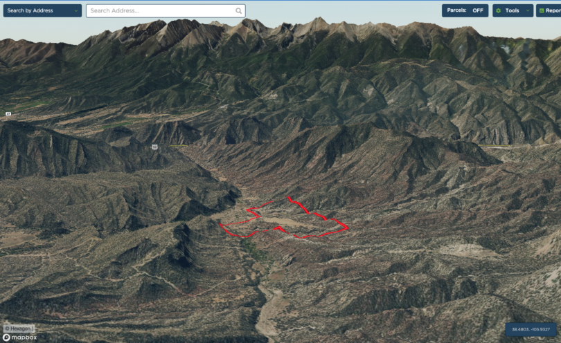
MapRight Interactive-zoom in/out and Hover over elements or “View Full Screen” for additional information. Use “3D” Button in lower right corner and drag your mouse around while holding the control key for additional perspectives to rotate, tilt, zoom, etc.
Access Map
The property is the last one along the paved private road Hier Ln serving about 14 properties total. The road is gated about 1/2 way with 6 properties participating in the Gate Association and served by the collective easements that lead to the property.