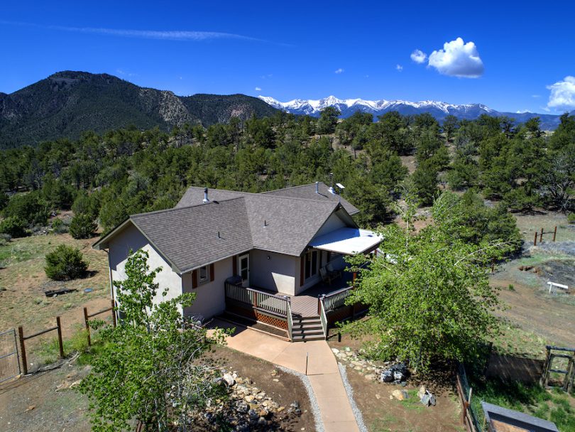
Property Details & Maps
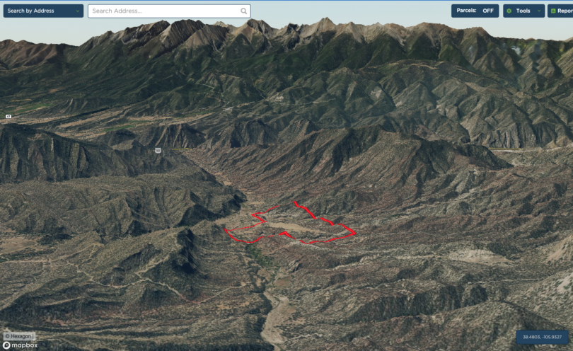
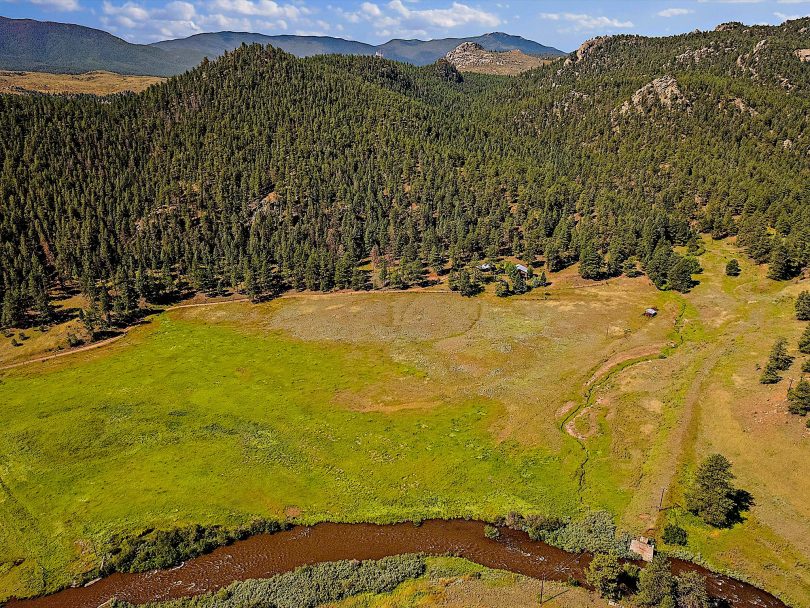
Tucked in to the foothill mountains just southwest of Denver, the property is beautiful sanctuary along the river corridor of the North Fork of the South Platte River adjacent to the quaint mountain community of Buffalo Creek. Situated about 40 miles from the southwest metro area, the location makes a wonderful site for a mountain retreat or full time residence; with quick access to the nearby towns of Pine, Conifer or Bailey and within about an hour and 10 minutes to Denver International Airport.
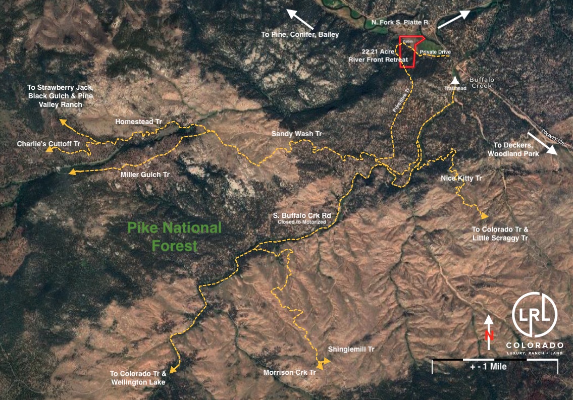
Consisting of 22.21 Acres zoned A-2 (Agricultural) within Jefferson County, Colorado; the property is adjacent to Pike National Forest with over 1.1 million acres of public lands. It enjoys roughly 150′ of river frontage on the N. Fork of the S. Platte River and it is accessed by an easement through a few adjacent parcels from the paved and well maintained Pine Valley and Deckers Rd.
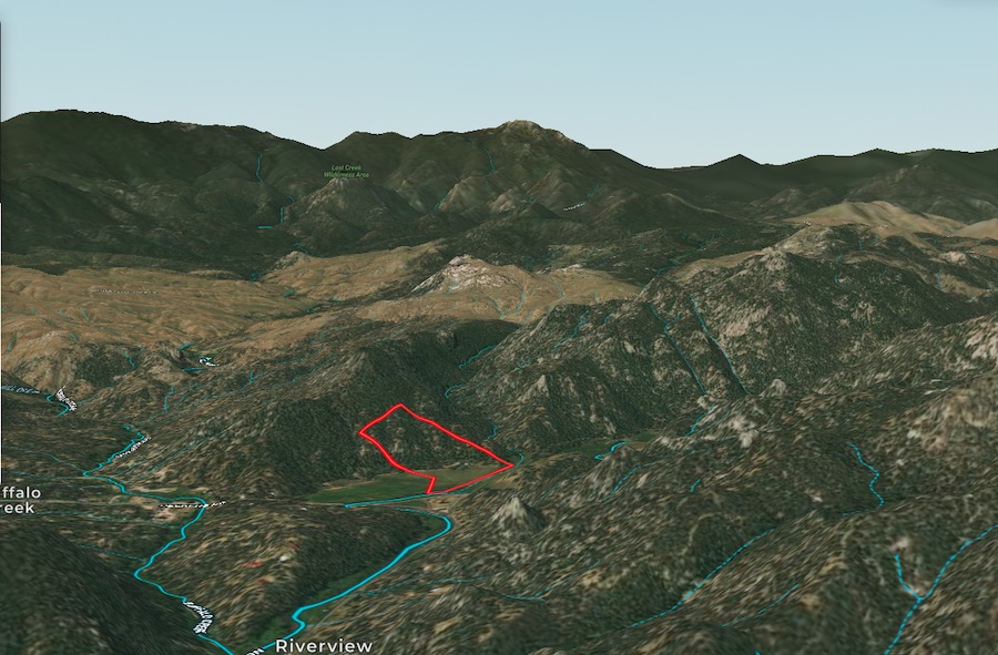
MapRight Interactive-zoom in/out and Hover over elements or “View Full Screen” for additional information. Use “3D” Button in lower right corner and drag your mouse around while holding the control key for additional perspectives to rotate, tilt, zoom, etc.
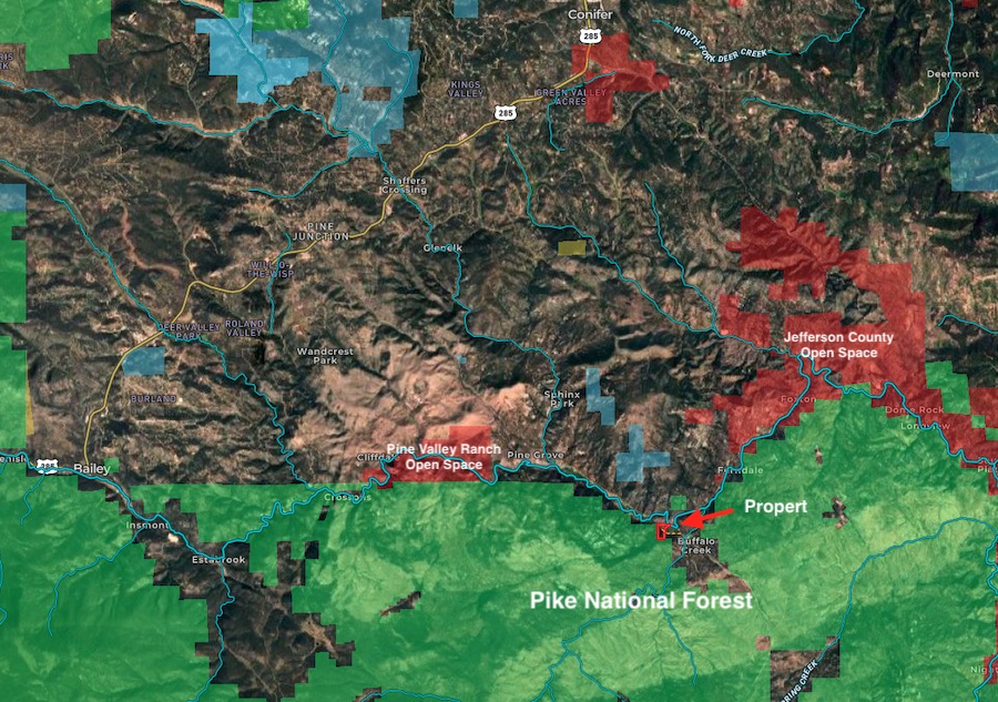
Public Lands Map
The property is adjacent to and surrounded by public lands including over 1.1 million acres of the Pike National Forest and nearby county open spaces all of which provides tremendous access for recreational opportunities including fishing, hiking & mountain biking, horseback riding and hunting.

