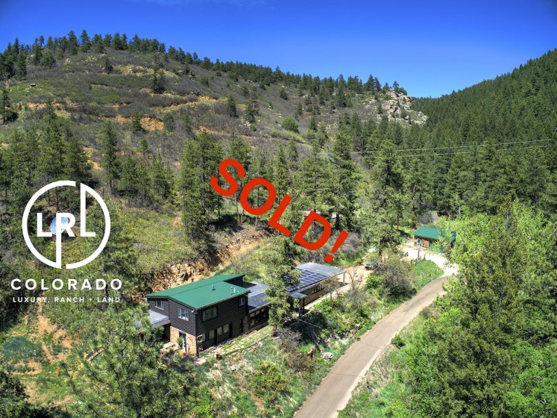
Property Details & Maps
The property is set in the foothills just west of Littleton Colorado and has year round quick year round access to/from C470 and the greater metro area.
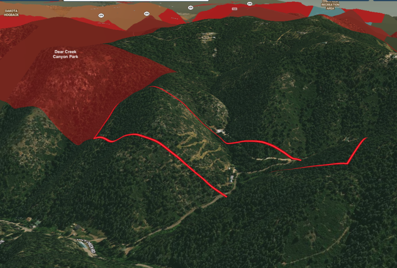
Use the MapRight Interactive mapping below to zoom in/out and Hover over elements or “View Full Screen” for additional information. Use “3D” Button in lower right corner and drag/click mouse while holding “control” to rotate and tilt views.
Dashed yellow line is the road easement for private Sampson Rd passing through the property. Dashed white line is the driveway easement for the neighbor to the northeast. The dashed pink line represents a 2 track trail up the north slope feeding to a foot path (green dashed) towards the adjacent park.
The property is zoned A-2 under the Jefferson County Zoning Regulations which allows for a wide range of uses. Details for this designation can be found within the Jefferson County Zoning and Use Regulations linked within the Documents Section.

Jefferson County Open Space’s Deer Creek Canyon Park abuts the property to the north hosting hiking and equestrian trails along with multi-use trails accommodating mountain biking.