Property Details & Maps
The Cabin is accessed from Hwy 103 on to W. Chicago Creek Rd which is county maintained to within about .72 miles of the W. Chicago Creek Campground. The access then passes about another 1/4 mi through the campground, down through a forest gate and then on down Falling Water Rd. to the cabin. W. Chicago Creek Rd is utilized year round with people accessing the Hells Hole trailhead, but may have periods of deep and heavy snow preventing access during winter months. W. Chicago Creek Campground
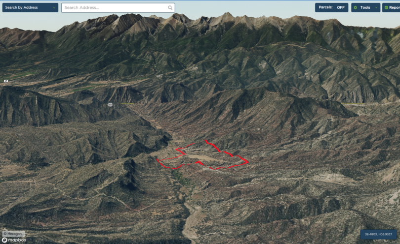
MapRight Interactive-zoom in/out and Hover over elements or “View Full Screen” for additional information. Use “3D” Button in lower right corner and drag your mouse around while holding the control key for additional perspectives to rotate, tilt, zoom, etc.
(ACCESS TO PROPERTY IS ACROSS PRIVATE GATED SHARED ROAD BY APPOINTMENT ONLY)

Public Lands Map
Add Content Here

3D Perspective