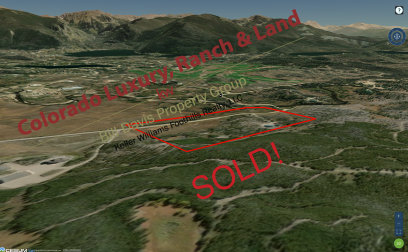
Wapiti Woods – Property Details & Maps
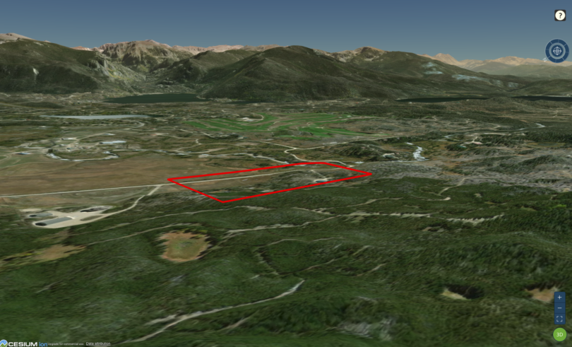
This spectacular 15 acre building site is located in Grand County just outside of the town of Grand Lake, Colorado; “A year round vacationers paradise for over one hundred years”. Directly bordering the 723,724 acre Arapahoe National Forest yet just over two miles from Hwy 34 on the northwest end of town, the property enjoys tremendous access to a wide variety of recreational activities and is only 3 miles from the western entrance to Rocky Mountain National Park and the Kawuneeche Visitor Center.
Use the MapRight Interactive mapping below to zoom in/out and Hover over elements or “View Full Screen” for additional information. Use the “3D” Button in the lower right and drag the “N” around the compass to view additional perspectives. The tilt feature within the compass is also a helpful tool to judge the views and topography. You can also change the base layers in the upper right to view topography, street, and other views. Note the black teardrop marker just south of the property that notes the location of the nearest power access. Additionally, note the gate located near the intersection of Michelle Dr (CR 4953) and CR 4954.
Ideally situated at an elevation around 8600′ close to town and just west of the Grand Lake Golf Course. The National Forest to the west enjoys vast networks of trails and backcountry roadways for outings in all seasons. Rocky Mountain National Park’s 265,769 acres to the east provide spectacular views from the property and expansive wilderness to experience.

The property is a mixture of Residential and Forestry split zoning allowing a wide range of uses per the Grand County Zoning Regulations.

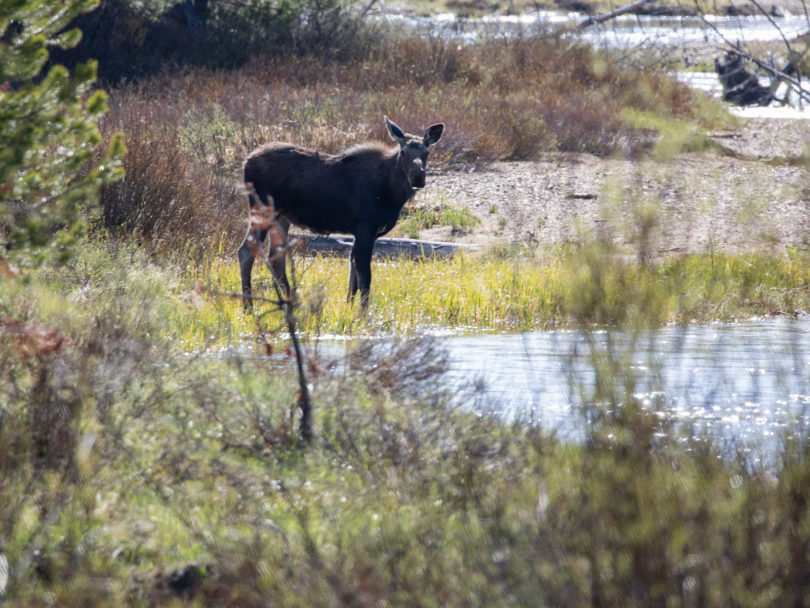
Majestic Beauty in all directions!